
Tidal Water Dock Permit: Rules for Docks in Tidal Zones (2026)
 13 min read
2,583 words
13 min read
2,583 words
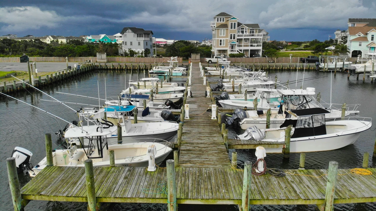
If you are planning to build a dock in a tidal zone—on a bay, estuary, tidal creek, or ocean inlet—you almost certainly need a tidal dock permit before you begin construction. Tidal waters are governed by a complex web of federal, state, and local regulations that make the permitting process more rigorous than for non-tidal lakes or rivers. In this guide, you will learn which agencies oversee tidal dock permits, how the mean high water mark determines your property rights, the design requirements for floating versus fixed docks, and what environmental protections apply to your project. We will also cover the specific challenges of building a dock in a tidal creek versus an open bay, along with realistic cost and timeline expectations for 2026.
Why Are Tidal Zone Dock Rules Stricter Than Inland Waters?
Tidal zones are governed by the public trust doctrine, which holds that the state owns the submerged lands below the mean high water mark for the benefit of the public. This means that even if you own waterfront property, you do not automatically own the land under the water in front of your home. The state acts as the trustee of these tidelands, and any private structure—including a dock—must be authorized through a lease or permit. This foundational difference explains why tidal zone dock rules are far more restrictive than those for private lakes or non-navigable rivers.
Additionally, tidal waters are dynamic environments. Daily tidal fluctuations, storm surges, and strong currents create unique engineering challenges. Environmental regulations are also stricter because tidal zones serve as critical habitat for fish, shellfish, and migratory birds. Agencies like the U.S. Army Corps of Engineers (USACE) and state coastal commissions require detailed impact assessments to ensure your dock does not harm these sensitive ecosystems.
Which Agency Issues Tidal Dock Permits?
No single agency handles all tidal dock permits. Instead, you will need approvals from multiple authorities, often in a specific order. The primary agencies include:
- U.S. Army Corps of Engineers (USACE): Requires a permit under Section 10 of the Rivers and Harbors Act for any structure in navigable waters. Most tidal waters are considered navigable, so a USACE permit is almost always required.
- State Coastal Management Agency: In coastal states like California, Florida, Texas, and Maine, a state-level permit is needed. This may be the Coastal Commission, Department of Environmental Protection, or similar body.
- State Tidelands Agency: If you need a lease for the submerged land, you will apply to the state land office or tidelands division. Examples include the Texas General Land Office or the California State Lands Commission.
- Local Municipality or County: Many cities and counties have their own setback requirements, height restrictions, and building codes for docks in tidal zones.
How to Determine Your Lead Agency
Your first step should always be to contact your state’s coastal management office or the USACE district office for your region. They will tell you which permits are required and in what order. For example, in Texas, you would start with the Texas General Land Office for a submerged land lease, then apply to the USACE Galveston District. In California, the Coastal Commission is often the lead agency, but you may also need a permit from the Regional Water Quality Control Board.
Mean High Water Mark: The Legal Foundation for Your Dock
The mean high water mark is the single most important legal boundary for any tidal dock project. It is the line on the shore established by the average of all high tides over a 19-year period (the National Tidal Datum Epoch). Everything below this line is considered state-owned submerged land. Everything above it is private property—provided you own the upland parcel.
When you apply for a tidal dock permit, you must clearly show the location of the mean high water mark on your site plan. This determines where your dock can touch the shore and how far it can extend into the water. In many states, the dock must begin at or above the mean high water mark to avoid encroaching on public tidelands with the upland connection.
How Is the Mean High Water Mark Determined?
For most tidal dock projects, you will need a licensed land surveyor to establish the mean high water mark on your property. The surveyor uses tidal datum data from the nearest NOAA tide station, combined with field observations of physical evidence like vegetation lines, debris lines, or scarp lines. This is not a DIY task—the survey must meet agency standards and often requires a sealed map.
The cost for a mean high water mark survey typically ranges from $1,500 to $3,500 depending on site complexity and accessibility. This is a worthwhile investment because an incorrect boundary can lead to permit denial or legal disputes with the state.
Tidal Range Design Requirements: Floating vs Fixed on Pilings
The tidal range—the vertical difference between high and low tide—directly affects your dock design. In areas with a small tidal range (under 3 feet), a fixed dock on pilings is common. In areas with a large tidal range (over 6 feet), a floating dock is often the only practical option because it rises and falls with the water level.
| Design Type | Best For | Permit Considerations |
|---|---|---|
| Fixed dock on pilings | Tidal range under 3 ft, sheltered waters | Requires deeper pile driving; may need USACE permit for dredging if piles are jetted in |
| Floating dock | Large tidal range (3–10+ ft), exposed bays | Must be anchored to avoid drifting; requires a gangway to connect to shore; may need a mooring permit |
| Combination (fixed approach + floating section) | Moderate tidal range (3–6 ft) | Most common design; combines stability of fixed with flexibility of floating |
Why Tidal Range Matters for Permitting
Agencies will evaluate how your dock affects navigation, water flow, and habitat during both high and low tide. A fixed dock that sits too low at high tide can block small boat passage. A floating dock that rests on the bottom at low tide can smother benthic habitat. Your permit application must include drawings showing the dock at extreme high and low water levels to demonstrate it will not cause these problems.
State Tidelands Ownership and Leases
As mentioned earlier, the state owns the submerged lands below the mean high water mark in tidal zones. This means you cannot simply build a dock on “your” waterfront—you must secure a lease or easement from the state to use the tidelands for your dock structure. The lease is typically issued by the state land office or tidelands agency.
Lease terms vary widely by state. In Texas, the General Land Office issues 20-year leases for residential docks with annual rent based on the appraised value of the submerged land. In California, the State Lands Commission issues revocable permits that can be terminated with 30 days’ notice, though for residential docks these are usually long-term. Lease fees can range from a few hundred dollars per year to several thousand, depending on the size of your dock and the value of the waterfront.
Pros of State Tidelands Lease
- Gives you legal right to use public land
- Protects you from trespassing claims
- Can be renewed or transferred with property sale
Cons of State Tidelands Lease
- Annual fees add to ongoing costs
- Lease terms may restrict dock size or use
- Non-renewal could force dock removal
What Happens If You Don’t Get a Lease?
Building a dock on state-owned tidelands without a lease is an encroachment. The state can order you to remove the dock at your own expense and may impose fines. In some states, you could also face criminal trespass charges. This is not a risk worth taking—the cost of a lease is far less than the cost of forced removal, which can easily exceed $20,000 for a typical residential dock.
Dock in a Tidal Creek vs Open Bay: Different Challenges
Building a dock in a tidal creek presents different challenges than building on an open bay. Tidal creeks are narrow, winding, and often have soft, muddy bottoms. They also tend to have lower energy environments, which means sediment accumulates more quickly. This can affect both construction and long-term maintenance.
- Tidal Creek Challenges: Limited width means your dock must be narrow to avoid obstructing navigation. Soft sediments may require longer piles or helical anchors. Erosion from boat wakes can destabilize the shoreline connection.
- Open Bay Challenges: Exposure to wind and waves requires a more robust design. Floating docks may need heavy-duty anchoring systems. Permitting is often more complex because of greater environmental impact potential.
In both cases, you must consider how your dock affects the natural flow of water and sediment. In tidal creeks, even a small dock can cause localized erosion or sedimentation that harms marsh vegetation. In open bays, a large dock can shade seagrass beds or alter current patterns. Your permit application must address these site-specific concerns.
Environmental Protections in Tidal Zones
Environmental regulations are a major factor in the tidal dock permit process. Tidal zones are among the most productive ecosystems on Earth, providing nursery habitat for fish and shellfish, feeding grounds for birds, and natural buffers against storm surge. Agencies will scrutinize your project to ensure it minimizes harm to these resources.
Key environmental protections include:
- Vegetation Protection: Many states prohibit or restrict the removal of marsh grasses, mangroves, or seagrasses. Your dock must be designed to avoid these plants, often by using a cantilevered or elevated structure.
- Water Quality: Construction activities like pile driving can stir up sediment and release pollutants. You may need a stormwater permit or a water quality certification under Section 401 of the Clean Water Act.
- Threatened Species: If your project is in habitat for endangered species (e.g., sea turtles, salmon, or certain shorebirds), you may need a biological assessment and consultation with the U.S. Fish and Wildlife Service or NOAA Fisheries.
- Shading: A wide dock can shade the water surface, reducing photosynthesis by submerged aquatic vegetation. Some states limit dock width to 4–6 feet to minimize this effect.
Summary: Your Action Plan for a Tidal Dock Permit
Obtaining a tidal dock permit requires careful planning and coordination with multiple agencies. Here is your recommended action plan:
- Contact your state coastal management agency or tidelands office first. Ask them for a list of required permits and the correct application order. This is your single most important step.
- Hire a licensed surveyor to establish the mean high water mark on your property. This will be the foundation of your site plan.
- Work with a dock builder experienced in tidal construction. They can help you choose between a floating dock, fixed dock, or combination design based on your tidal range and site conditions.
- Submit your state tidelands lease application early, as this process often takes the longest. Expect 3–6 months for initial review.
- Apply for the USACE permit once the state lease is in progress or approved. The USACE process typically takes 4–8 months for standard residential docks.
- Check local zoning and building codes to ensure your design meets setback, height, and material requirements.
For more guidance on related water body types, see our guide on River Dock Permit: Navigable Waterway Rules & How to Apply (2026) and Public Lake Dock Permit: How to Get Permission to Build a Dock (2026). If you are adding a swim platform to your tidal dock, also review Swim Platform and Swim Raft Permit Requirements (2026 Guide).
Frequently Asked Questions
Do tidal docks need special permits?
Yes, tidal docks require special permits that go beyond standard building permits. Because tidal waters are considered public trust lands, you typically need a permit from the U.S. Army Corps of Engineers under Section 10 of the Rivers and Harbors Act, a state tidelands lease or permit, and often a local coastal development permit. The exact combination depends on your state and the specific water body. Failing to obtain these permits can result in fines and forced removal of your dock.
What is the mean high water mark for dock permits?
The mean high water mark is the legal boundary between private upland property and state-owned submerged land in tidal zones. It is calculated as the average of all high tides over a 19-year period. For dock permits, you must show this line on your site plan because your dock’s shoreline connection must generally be above it. A licensed surveyor establishes this mark using NOAA tidal data and field evidence. The survey is a critical first step in the permitting process.
Should I build a floating or fixed dock in tidal water?
The choice between a floating or fixed dock depends primarily on your tidal range. For tidal ranges under 3 feet, a fixed dock on pilings is often suitable. For ranges over 6 feet, a floating dock is usually the only practical option because it rises and falls with the tide. Many homeowners choose a combination design with a fixed approach section and a floating outer section, which works well for moderate tidal ranges of 3 to 6 feet. Your dock builder and permitting agency can help you determine the best design for your site.
Who owns the tidelands where my dock is?
The state owns the tidelands below the mean high water mark under the public trust doctrine. This means you do not own the submerged land in front of your waterfront property. To build a dock, you must obtain a lease or easement from the state land office or tidelands agency. The lease typically involves an annual fee and may have restrictions on dock size and use. This is a fundamental difference from building on a private lake, where you may own the lakebed.
Last updated: July 02, 2026
- U.S. Army Corps of Engineers Regulatory Program (usace.army.mil)
- National Oceanic and Atmospheric Administration Tidal Datums (tidesandcurrents.noaa.gov)
- State of California Coastal Commission (coastal.ca.gov)
- Texas General Land Office Tidelands Leasing Program (glo.texas.gov)

Dock Permit Guide
DockPermitGuide editor covering boat dock and pier permit requirements, costs, and regulations across the United States, Canada & Australia.